
How to Use This Map
Click any state to see its historical tornado data, monthly activity pattern, and a Tornado Risk Index score from 0 to 10. The map covers all 50 states using NOAA Storm Prediction Center records from 1950 to 2025, normalized by land area so that smaller states with high tornado density show their true risk level rather than being overshadowed by the raw totals of larger states like Texas.
What Is the Tornado Risk Index?
The Tornado Risk Index shown on this map is our own scoring system, distinct from the TORCON Index developed by Weather Channel meteorologist Dr. Greg Forbes.
The TORCON Index is a daily forecast tool that rates the probability of a tornado occurring within 50 miles of a given location on a specific day, based on real-time atmospheric conditions including instability, wind shear, and lift. It is a live forecast product, not a historical measure.
Our Tornado Risk Index works differently. It is a historical frequency measure that answers a different question: based on 75 years of recorded tornado activity, how tornado-prone is this state compared to others, adjusted for its physical size? A state that gets 30 tornadoes per year across 50,000 square miles carries a fundamentally different risk profile than one that gets 30 tornadoes per year across 5,000 square miles.
Both tools are useful for different purposes. The TORCON Index tells you whether to take shelter today. The Tornado Risk Index tells you whether you live in a region where that question comes up often.
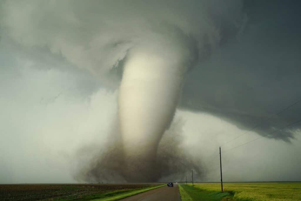
Which States Have the Highest Tornado Risk?
Oklahoma and Kansas consistently top the historical risk rankings when tornado frequency is normalized by land area. Oklahoma averages over 60 confirmed tornadoes per year across a relatively compact state, producing the highest density of tornado activity anywhere in the world. The broader Tornado Alley region, including Nebraska, Texas, and South Dakota, makes up the core of the highest-risk zone.
The Deep South states of Alabama, Mississippi, Arkansas, Tennessee, and Louisiana present a different kind of risk. While their raw tornado counts are lower than the Great Plains states, their tornadoes tend to occur at night and in winter months when warning times are shorter and residents are less likely to be monitoring the weather. The isolated vs scattered thunderstorms distinction matters here, as Deep South outbreak events often produce multiple strong tornadoes with little warning.
Florida ranks surprisingly high due to the sheer volume of weak waterspout tornadoes that make landfall, though these are generally less destructive than the supercell tornadoes typical of Tornado Alley.
How Tornado Risk Varies by Season

The monthly activity chart in the map shows peak tornado season for each state. Nationally, tornado activity peaks between March and June with a secondary peak in October and November across the southern states.
The classic Tornado Alley spring season runs from late April through early June when Gulf moisture, dry air from the Rockies, and strong jet stream winds combine to create the atmospheric instability that fuels supercell thunderstorms. Understanding your state’s peak season is the first step in timing your preparedness activities.
What to Do With This Information
Knowing your state’s historical risk level is a starting point, not a forecast. Even low-risk states experience tornadoes and any thunderstorm capable of producing one can do so with limited warning.
The most important preparation steps are the same regardless of your risk score:
Own a NOAA weather radio. As our best weather radio buying guide explains, a dedicated weather radio delivers alerts faster than any smartphone app and continues working when cell networks are overloaded or your power is out.
Monitor local conditions with a personal weather station. A home weather station lets you track real-time barometric pressure at your exact location. Rapid pressure drops are one of the most reliable precursors to severe weather development.
Know your safe room. Every household in a tornado-prone region should have a designated interior room on the lowest floor, away from windows, stocked with basic emergency supplies.
Know the difference between a watch and a warning. A tornado watch means atmospheric conditions are favorable for tornado development. A tornado warning means a tornado has been confirmed by a spotter or detected by radar and immediate shelter is required. Our article on tornado watch vs warning covers this in more detail.
About the Data
Tornado records in this map are sourced from the NOAA Storm Prediction Center’s historical severe weather database, which contains confirmed tornado reports from 1950 to 2025. Risk scores are calculated by dividing each state’s total tornado count by its land area in square miles, then normalizing the result to a 0 to 10 scale relative to the highest-density state (Oklahoma).
This is a historical measure only. It reflects past frequency, not a forecast of future activity. For daily severe weather outlooks and official forecasts, visit the NOAA Storm Prediction Center directly.

Reviewed by Ed Oswald
Lead Reviewer, Weather Station Advisor
Ed has covered consumer technology and weather instruments for Digital Trends, PC World, and the New York Times for over 20 years. He has personally tested every station recommended on this page.