
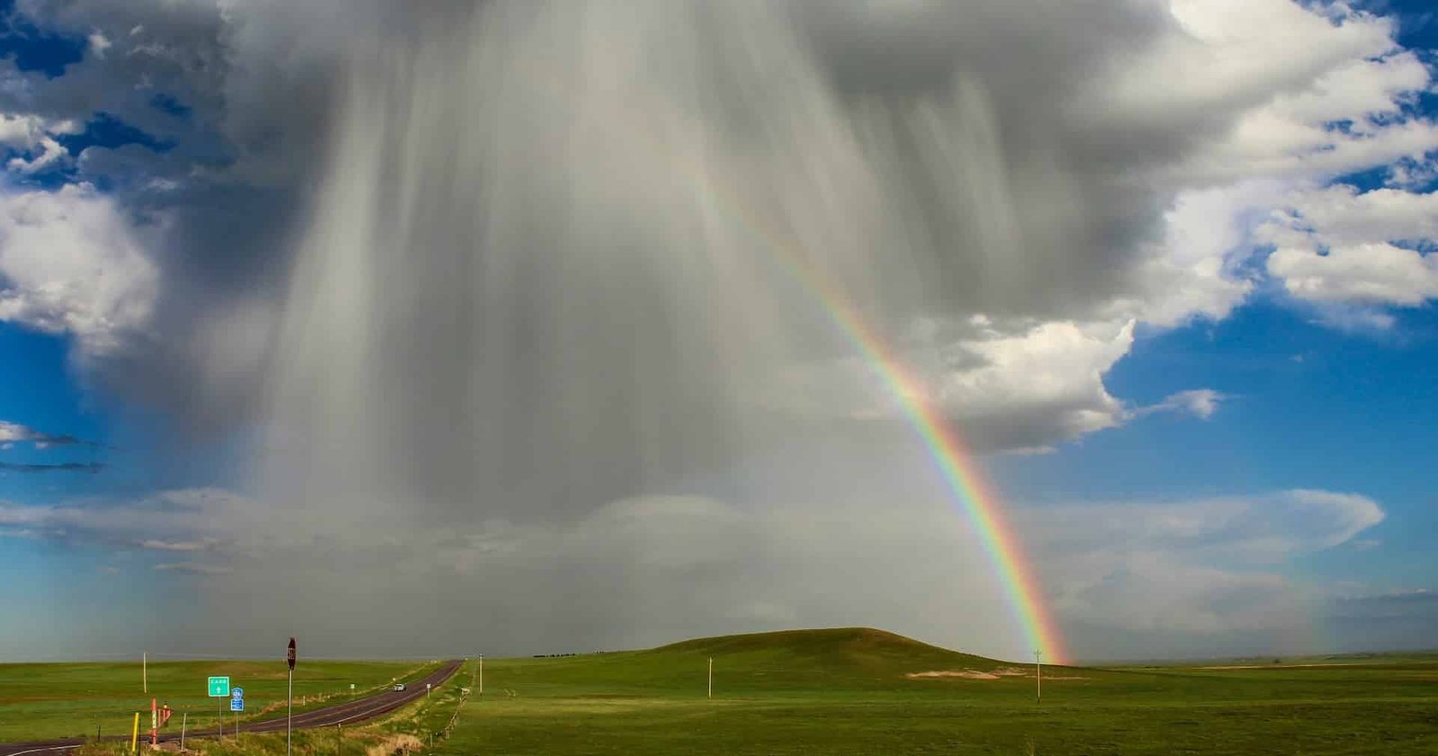
Weather forecasters throw around terms that sound like they were invented to confuse everyone outside the meteorology department. Derecho. Haboob. Bomb cyclone. Atmospheric river. These are real phenomena with precise meanings, and understanding what they actually are makes a significant difference when one is heading your way.
Here are the weather terms worth knowing before the next big storm rolls in.
Derecho
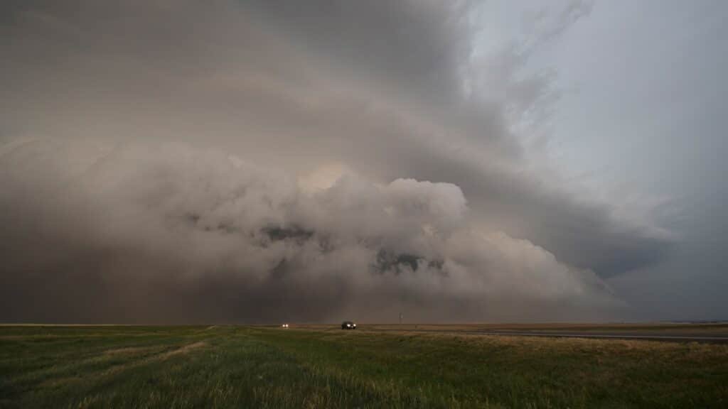
Picture a line of thunderstorms moving faster than a highway speeding ticket, stretching hundreds of miles wide, and knocking down trees in the same direction for as far as the eye can see. That is a derecho, and it is one of the most destructive weather events most people have never heard of.
Unlike a tornado, which spins and carves a narrow path, a derecho produces straight-line winds across an enormous area. The National Weather Service defines it as a windstorm with damaging gusts of at least 58 mph along a path at least 240 miles long. Some derechos push well past 100 mph and cross multiple states in a single afternoon.
The Midwest and Ohio Valley see the most derecho activity, with late spring through summer as peak season. The August 2020 event is a good example of the scale involved: it crossed Iowa in under two hours and destroyed more than half of the state’s corn crop in a single afternoon, causing over a billion dollars in damage.
The warning time for a derecho is often measured in minutes rather than hours. If a severe thunderstorm warning mentions damaging straight-line winds, treat it as seriously as a tornado warning and get inside immediately.
Haboob
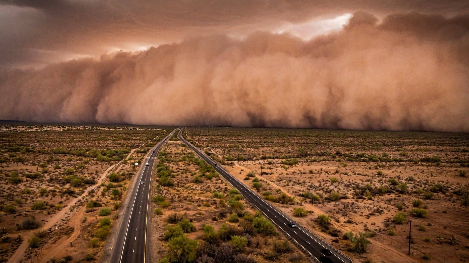
Imagine driving along a desert highway on a clear afternoon when a wall of brown nothing appears on the horizon, stretching from the ground to what feels like the stratosphere, and moving directly toward you at 40 miles per hour. That is a haboob, and if you have ever seen one rolling toward Phoenix, you understand immediately why people stop their cars and stare.
A haboob forms when a thunderstorm’s downdraft slams into the ground and pushes outward as a burst of wind. In desert environments with dry, loose soil, that outflow picks up enormous quantities of dust and carries it forward as a solid wall that can reach thousands of feet high and dozens of miles wide. Visibility inside a haboob drops to near zero almost instantly.
The word comes from Arabic and has been used to describe these events across North Africa and the Arabian Peninsula for centuries. In the United States, haboobs are a regular feature of Arizona summers, particularly around Phoenix and Tucson during monsoon season when afternoon thunderstorms are most active.
If one is approaching, pull completely off the road, turn off your lights, put your car in park, and keep your foot off the brake pedal. Lights left on inside the dust wall can confuse other drivers into following you thinking you are moving traffic.
Bomb cyclone
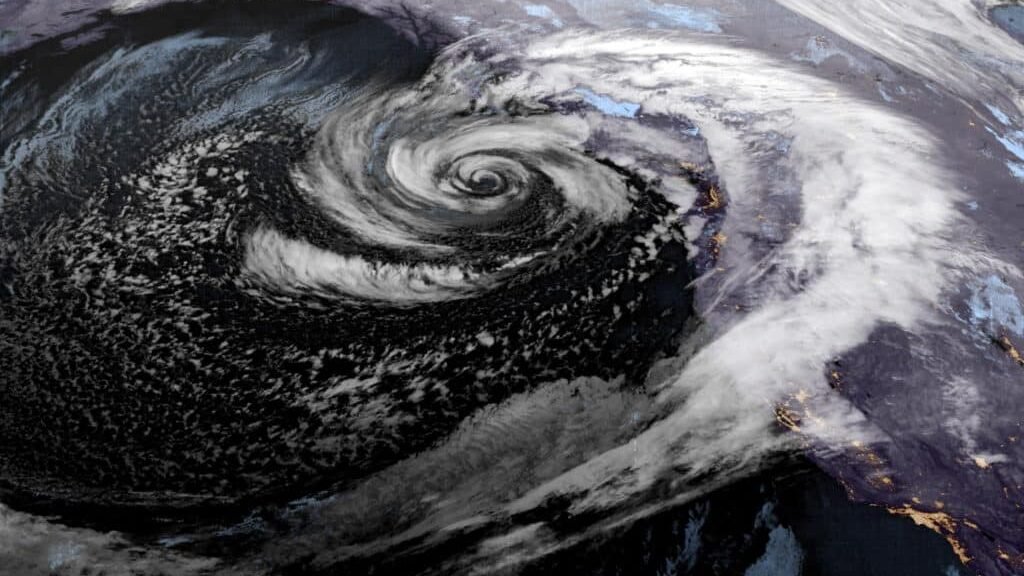
The name sounds like journalism reaching for drama, but bomb cyclone is the actual scientific term atmospheric scientists have used since 1980. A storm qualifies when its central pressure drops by at least 24 millibars in 24 hours, which is a staggering rate of intensification that turns an ordinary low-pressure system into a full-blown beast in the time it takes to get a decent night’s sleep.
Bomb cyclones develop most often over the Atlantic Ocean in winter, where cold continental air meets warm ocean water and the energy released drives explosive deepening. The rapid intensification means forecasts issued two days earlier can significantly underestimate how bad conditions will actually get, which is what makes these storms particularly dangerous.
The January 2018 bomb cyclone dropped 59 millibars in 24 hours over the western Atlantic and buried much of the East Coast in snow while bringing temperatures that felt like -30°F to coastal communities that rarely see single digits. The 2022 Christmas bomb cyclone brought those conditions to the Midwest and trapped hundreds of people in Buffalo under historic snowfall.
The good news is that the process is well understood and modern models generally catch these storms several days in advance. When forecasters start talking about rapid intensification, pay attention to the updated forecasts rather than whatever you checked two days ago.
Atmospheric river
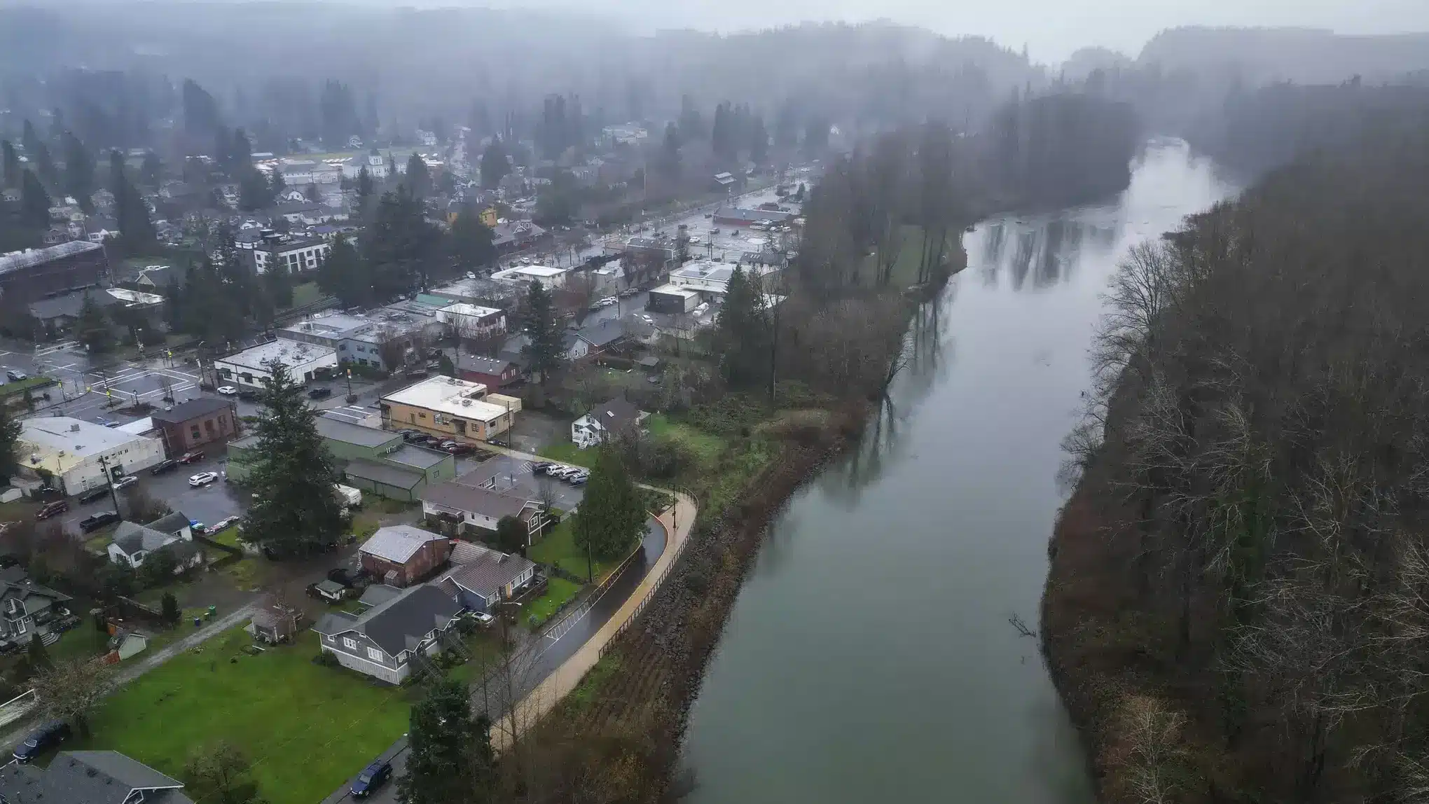
Think of an atmospheric river as a fire hose aimed at a mountain range. It is a long, narrow corridor of concentrated moisture in the atmosphere, often several hundred miles wide and thousands of miles long, transporting enormous quantities of water vapor from the tropics toward higher latitudes. When that corridor hits a mountain range, everything in the air gets forced upward, cools down, and dumps as rain or snow.
The West Coast of the United States experiences these more dramatically than almost anywhere else. When an atmospheric river locks onto California or the Pacific Northwest and aims at the Sierra Nevada or the Cascades, it can deliver a month’s worth of precipitation in just a few days. The informal name for one that draws moisture from near Hawaii is the Pineapple Express, which sounds pleasant until it drops four feet of snow on mountain passes in 48 hours.
Atmospheric rivers are now rated on a scale from 1 to 5. A Category 1 is mostly beneficial, ending droughts and filling reservoirs. A Category 5 is considered exceptional and carries serious risk of catastrophic flooding, mudslides, and infrastructure damage. The January 2023 series that struck California ended a multi-year drought while simultaneously causing over a billion dollars in damage from flooding.
For anyone living in the western United States, watching for atmospheric river warnings in winter is as important as watching for hurricane warnings on the Gulf Coast.
Polar vortex
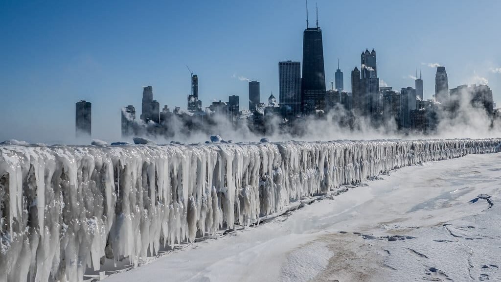
The polar vortex is not a new thing. It has existed for as long as Earth has had poles. What changed is how often it escapes. Under normal conditions, the vortex is a stable mass of cold air circling the Arctic, kept locked in place by the jet stream above it. When the vortex weakens or gets disrupted, it migrates southward and drags genuinely Arctic temperatures with it into the United States.
What people experience on the ground is not just a cold snap but historically low temperatures that can beat records standing for over a century. The February 2021 disruption sent temperatures plunging across Texas to below 0°F, a level the state’s infrastructure was never designed to handle. Pipes froze and burst across the state, power generation failed, and over 200 people died in conditions that would be routine in Minnesota but were catastrophic in Houston.
Polar vortex events are becoming more frequent and more discussed, which has led to some confusion about what they actually are. The vortex itself is not new and not unusual. A disrupted polar vortex that sends Arctic air deep into the mid-latitudes is the event worth paying attention to, and modern forecasters can usually see it coming one to two weeks in advance.
When meteorologists start talking about polar vortex disruption in late fall, take the coming winter seriously even if the current weather is mild.
Microburst
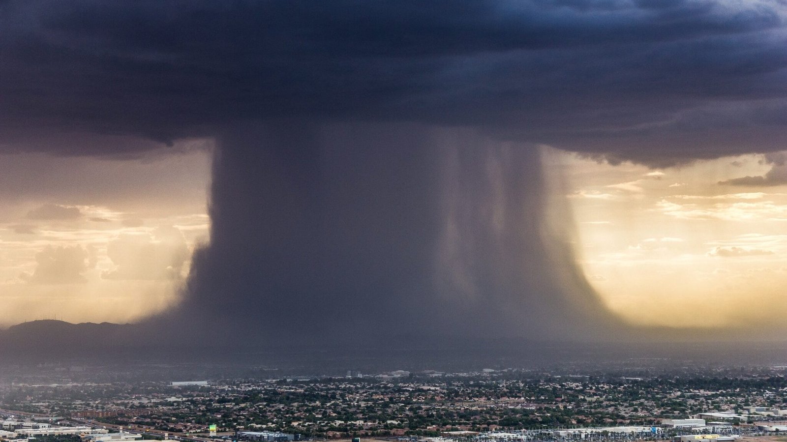
A microburst is what happens when a thunderstorm’s downdraft hits the ground and explodes outward in all directions. The area affected is small, less than two and a half miles wide, but within that zone winds can exceed 100 mph and the damage looks almost exactly like a tornado tore through except that everything is knocked flat in multiple directions rather than following a spinning path.
Aviation discovered the hard way how dangerous microbursts can be. A series of aircraft accidents in the 1970s and 1980s were eventually traced to microbursts encountered during takeoff and landing. An aircraft flying through one first hits a headwind that temporarily increases lift, then encounters the downdraft itself, then hits a tailwind that reduces lift sharply at the worst possible moment close to the ground. Meteorologist Theodore Fujita, who also developed the tornado intensity scale, coined the term and his research led directly to the wind shear detection systems installed at major airports.
Dry microbursts are particularly sneaky because the rain that triggers the downdraft evaporates before reaching the ground, leaving nothing visible beneath the storm cloud. The evaporating rain actually cools the air dramatically and drives the downdraft even faster. In the arid Southwest, dry microbursts are the most common thunderstorm wind hazard and can appear under clouds that look relatively weak from a distance.
Lake-effect snow
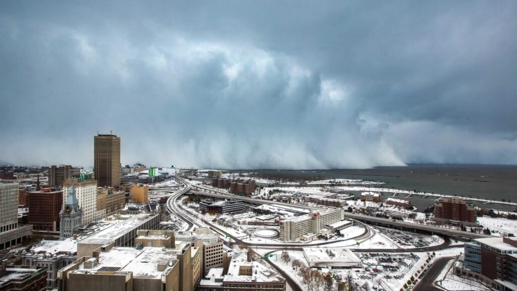
It is snowing three inches per hour in one neighborhood and bone dry two miles away. Welcome to lake-effect snow, where geography creates some of the most extreme local weather variations in North America. Cold, dry air moves over a relatively warm Great Lake, picks up heat and moisture like a sponge, becomes unstable, rises, and dumps massive snowfall on a narrow band of land on the downwind shore.
Buffalo, New York has become the unofficial capital of lake-effect snow because of its position at the eastern end of Lake Erie. The city averages over 90 inches of snow per year, much of it arriving in intense bands that can drop three to five inches per hour. Towns 20 miles inland may see a fraction of that total from the same event. The Tug Hill Plateau east of Lake Ontario is even more extreme, averaging over 200 inches of snow per year in a region that otherwise has a pretty ordinary climate.
The intensity of a lake-effect event depends heavily on the temperature difference between the lake surface and the cold air above it. As the Great Lakes warm due to climate change, lake-effect seasons are starting earlier in fall and individual events are producing heavier snowfall, even as total winter snowfall trends decline in some areas. The November 2022 lake-effect event that buried parts of the Buffalo area under six feet of snow in 24 hours was a preview of what increasingly intense individual events can look like.


