Most dangerous weather gives you time. A hurricane tracks across the ocean for days. A blizzard shows up on models a week in advance. But some cities sit in zones where the weather can shift from calm to lethal in minutes, catching residents and visitors off guard with a speed that makes preparation nearly impossible.
These 15 cities deal with weather that arrives fast, hits hard, and leaves people with almost no time to react. The threats are different in each place, but the common thread is the same: clear skies can become life-threatening conditions before most people realize what is happening.
1. Joplin, Missouri
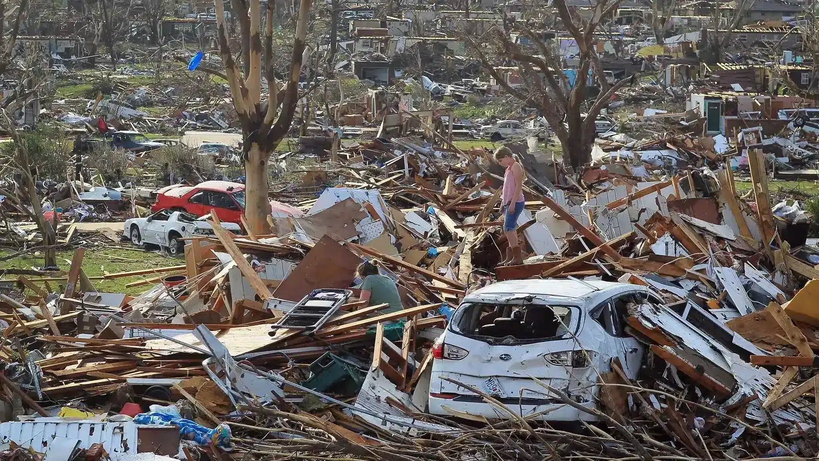
The EF5 tornado that struck Joplin on May 22, 2011 killed 158 people and injured over 1,000 in a matter of minutes. The storm went from tornado warning to direct hit on a major city in less than 20 minutes, which is not enough time for many people to reach shelter, especially in a city where not every building has a basement.
Joplin sits in a convergence zone where warm Gulf air meets cold fronts from the Rockies, producing some of the most intense supercell thunderstorms in the country. Tornadoes in this region can develop rapidly within storms that are already producing heavy rain, making visual identification nearly impossible until the funnel is on the ground.
The city rebuilt with improved warning systems and more storm shelters, but the fundamental geography has not changed. Joplin remains in the path of severe weather that can escalate from thunderstorm to deadly tornado in a timeframe that leaves very little margin for error.
2. Tucson, Arizona
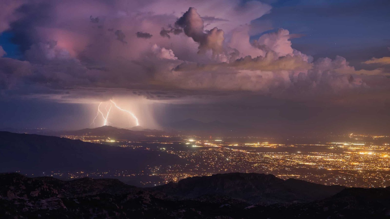
The desert washes that crisscross Tucson look like dry ditches for most of the year. During monsoon season, a thunderstorm 20 miles upstream can send a wall of water through those washes with no rain falling in the city itself. Flash floods arrive with almost no warning, filling dry channels to the brim in minutes and sweeping away vehicles, pedestrians, and anything else in the path.
Arizona has a “stupid motorist law” that holds drivers financially responsible if they drive into a flooded wash and require rescue. The law exists because people keep doing it, despite signage, barricades, and annual public awareness campaigns. The speed at which dry ground becomes a raging river catches people off guard every single season.
Tucson’s flash flood risk is compounded by urban development that has paved over natural drainage areas, concentrating runoff into channels that overflow faster and flow harder than the original desert washes. A ten-minute downpour can create life-threatening conditions in a city that sits under blue sky for 350 days a year.
3. Moore, Oklahoma
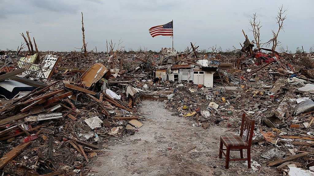
Moore has been struck by violent tornadoes so many times that the city has become synonymous with tornado risk. EF4 and EF5 tornadoes hit the city in 1999, 2003, and 2013, each one producing mass casualties and destroying thousands of structures. The 1999 tornado produced the highest wind speed ever measured on Earth: 301 mph.
The city sits in the heart of tornado alley where the dryline sets up during spring, creating a boundary along which supercell thunderstorms develop with explosive intensity. Tornadoes here can go from a rotating wall cloud to a mile-wide wedge on the ground in under ten minutes.
Moore has responded by mandating storm shelters in new construction and improving its warning system, but the physics of the situation remain unchanged. The atmosphere over central Oklahoma produces violent tornadoes with a frequency that no engineering solution can eliminate. People who live in Moore accept this reality and prepare accordingly, knowing that the next EF5 is not a question of if but when.
4. Las Vegas, Nevada
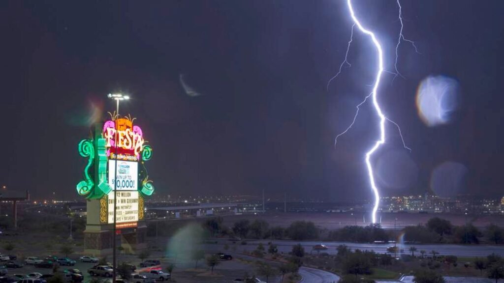
The image of Las Vegas as a dry desert city obscures a flash flood risk that catches residents and tourists off guard every monsoon season. The city is built in a valley surrounded by mountains, and when thunderstorms dump rain on those mountains, the runoff channels into the valley with devastating speed. The infamous Las Vegas Wash and the city’s storm drain system become raging rivers in minutes.
Homeless populations that shelter in the storm drain tunnels beneath the Strip face lethal risk during these events. The tunnels, which are dry most of the year, can fill to the ceiling within minutes of a heavy rainstorm, and the swift current makes escape nearly impossible once the water starts rising.
Above ground, the flat valley floor and acres of impervious pavement concentrate runoff into channels that overwhelm the drainage infrastructure. Intersections flood, vehicles stall, and drivers who attempt to cross standing water discover that two feet of moving water is enough to sweep a car off the road. Las Vegas floods are brief, violent, and deadly precisely because nobody expects them.
5. Galveston, Texas
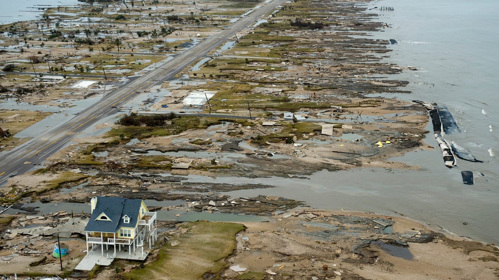
Galveston sits on a barrier island with an average elevation of about six feet above sea level. When a tropical system approaches, storm surge can push water inland faster than residents can evacuate. The single causeway connecting the island to the mainland becomes a bottleneck, and the window between “maybe we should leave” and “too late to leave” can close in hours.
The 1900 hurricane that killed 8,000 people remains the deadliest natural disaster in American history, and the city’s vulnerability has not fundamentally changed despite the seawall constructed after that disaster. Modern storms like Ike in 2008 pushed surge over the seawall and flooded the island’s unprotected west end completely.
Rip currents and sudden squalls add year-round water dangers that catch swimmers and boaters off guard. Galveston’s beauty and proximity to Houston keep it populated and visited, but the island sits in a geographic position where weather-related danger is never more than a forecast away.
6. Rapid City, South Dakota
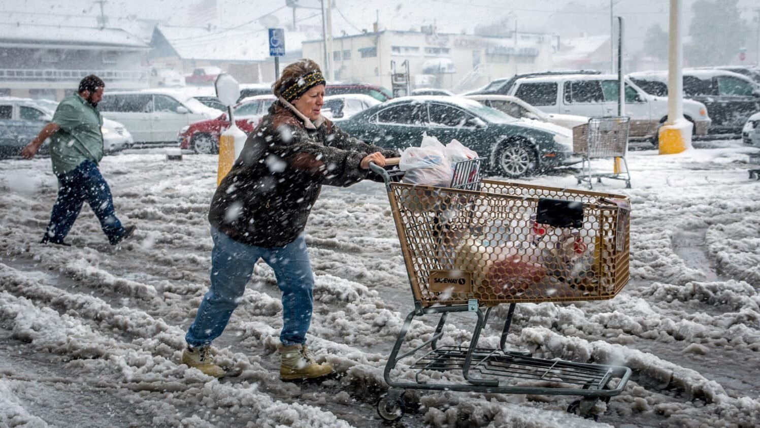
The Black Hills create weather that can turn deadly with shocking speed. The June 1972 flood killed 238 people when a stationary thunderstorm dumped 15 inches of rain in six hours over the hills above Rapid Creek. The water funneled down the narrow canyon and hit the city as a wall of destruction that arrived faster than warnings could spread.
Temperature changes in Rapid City happen with a violence that most Americans have never experienced. A January day can start at minus 10 and hit 50 by noon, or drop 40 degrees in an hour when an Arctic front blasts through. The speed of these transitions catches travelers off guard and creates ice on roads that were clear minutes earlier.
Severe thunderstorms with baseball-sized hail are a summer regularity, and the storms develop over the Black Hills with a speed that makes forecasting their exact timing difficult. Rapid City lives at the intersection of mountain weather and Plains weather, and the collision between those two systems produces sudden, dangerous conditions that the city has learned to respect through painful experience.
7. Denver, Colorado
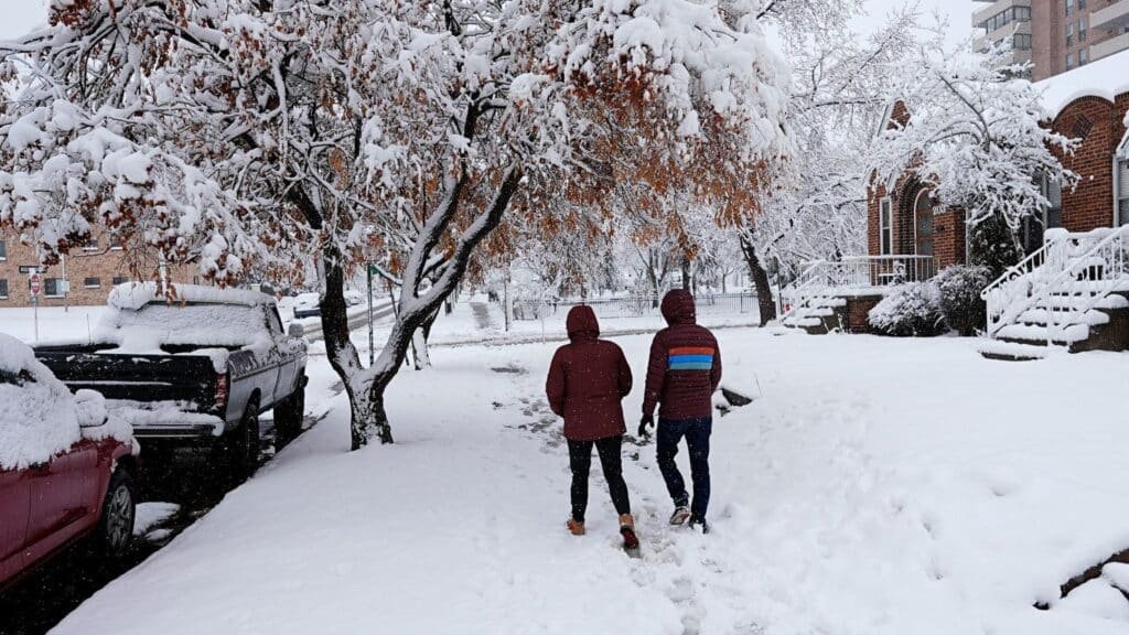
Denver’s position at the base of the Rocky Mountains creates weather surprises that catch even longtime residents off guard. Upslope storms can dump two feet of snow on the city in 12 hours, shutting down a metropolitan area of three million people with a speed that the forecasts sometimes underestimate. The April 2021 bomb cyclone produced 100 mph wind gusts and blizzard conditions that arrived faster than many people could get home from work.
Spring hailstorms are the other rapid-onset threat. Supercell thunderstorms that form over the Front Range can produce softball-sized hail that causes billions in damage to vehicles, roofs, and anything left outdoors. The hail arrives with almost no lead time, dropping from what looked like a normal thunderstorm fifteen minutes earlier.
Microbursts, straight-line winds that exceed 100 mph, add another layer of sudden danger. These events are essentially localized windstorms that descend from thunderstorms and hit the ground with devastating force across a small area. Denver’s weather can go from sunshine to survival mode in less time than it takes to drive across the metro area.
8. Honolulu, Hawaii
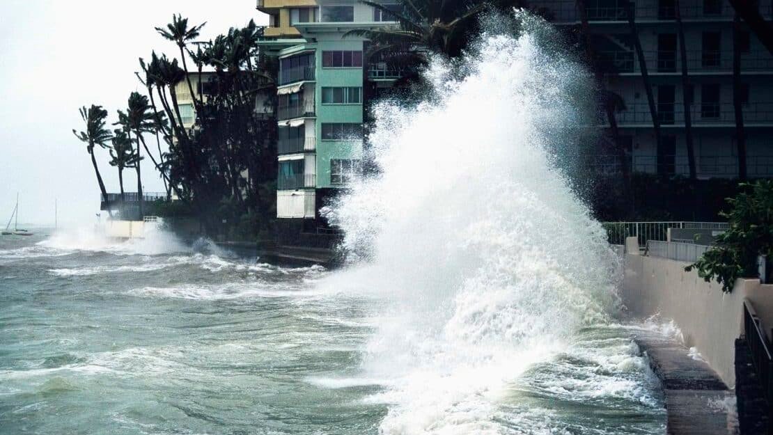
Hawaii’s weather risks hide behind the postcard image of perpetual sunshine. Flash floods kill more people in Hawaii than any other natural hazard, and the steep terrain means rain in the mountains reaches the coastal areas as sudden, violent runoff within minutes. Stream crossings that are ankle-deep in the morning can become impassable torrents by afternoon.
The Ko’olau Range above Honolulu receives some of the highest rainfall rates in the world, and the water rushes down narrow valleys into residential areas that were built in natural flood channels. Hikers on popular trails like Manoa Falls have been swept away by flash floods that materialized while the trailhead parking lot sat under clear sky.
High surf arrives at exposed shorelines with a seasonal regularity that locals understand but tourists underestimate. Winter swells on the North Shore can push 50-foot waves onto beaches where families were swimming that morning. The transition from safe to deadly happens with the arrival of each swell, and the ocean does not provide the kind of advance warning that mainland weather systems offer.
9. Phoenix, Arizona
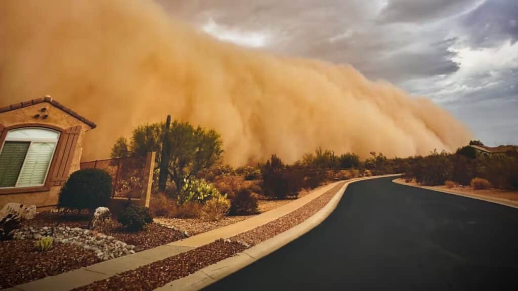
Haboobs, the massive dust storms that sweep across the Phoenix valley, can reduce visibility to zero in seconds. These walls of dust rise over 5,000 feet and move at 30 to 60 mph, overtaking traffic on highways and creating multi-vehicle pileups when drivers suddenly cannot see the road in front of them. The transition from clear sky to absolute darkness happens in under a minute.
Extreme heat is the more persistent killer. Phoenix regularly exceeds 115 degrees, and the combination of heat and low humidity can produce heat stroke in people who are outdoors for as little as 30 minutes without water. Hikers on Camelback Mountain and other popular trails require rescue nearly every week during summer, and deaths from heat exposure occur every year despite public awareness campaigns.
Monsoon thunderstorms add flash flood risk to the heat and dust. Rain on the surrounding mountains reaches the valley floor through washes that go from dry to deadly in minutes, and the urban infrastructure struggles to handle the volume when a storm sits over one area and dumps two inches in twenty minutes.
10. New Orleans, Louisiana
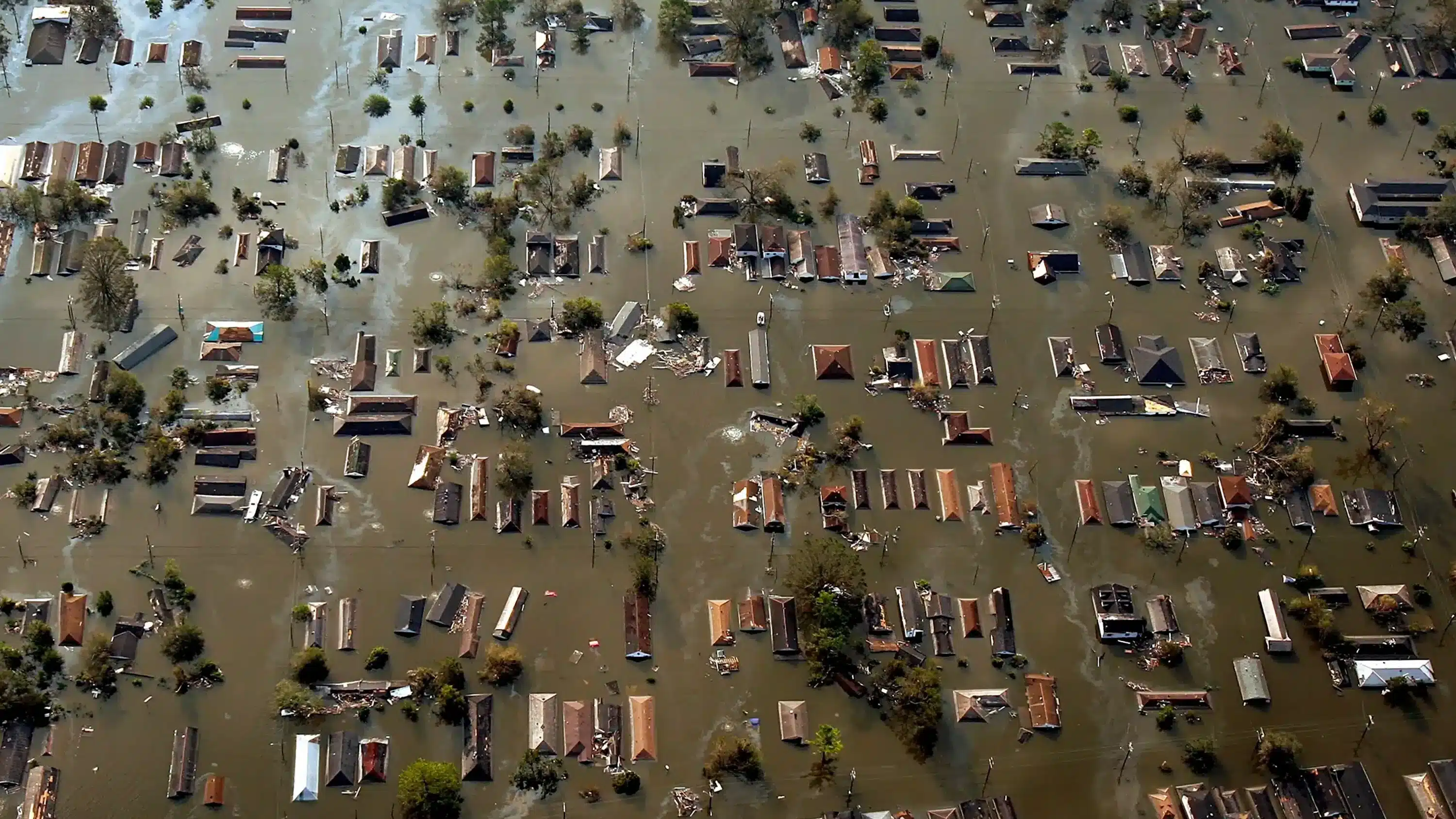
New Orleans sits in a bowl below sea level, protected by a system of levees and pumps that operates on the assumption that everything works correctly all the time. When a heavy rainstorm overwhelms the pump stations, which happens with regularity, streets flood within an hour. The water has nowhere to go because the city is lower than the surrounding lake, river, and swamps.
A single afternoon thunderstorm can flood underpasses, strand vehicles, and turn major roads into canals. The August 2017 flood event dumped over nine inches of rain on the city in three hours, flooding thousands of homes and businesses in areas that had been dry thirty minutes earlier.
The rapid onset of flooding in New Orleans is a function of geography that no amount of engineering has fully solved. The pumps can handle about one inch of rain in the first hour. Anything above that rate starts pooling, and the lowest areas of the city feel it first. Residents track rainstorm forecasts with the same intensity that other cities track snow forecasts, because an inch per hour is manageable and two inches per hour is a disaster.
11. Chattanooga, Tennessee
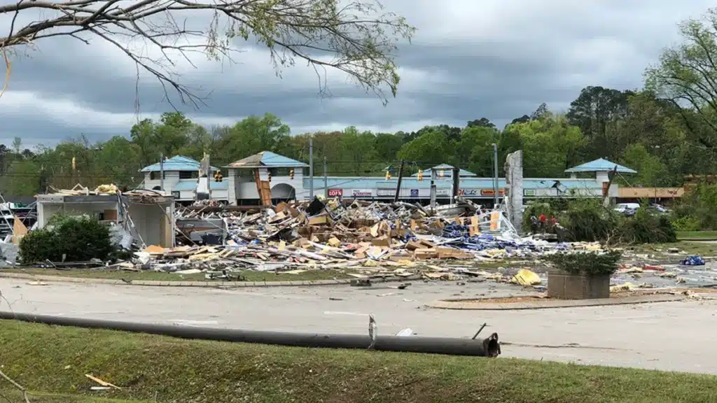
The Tennessee Valley creates a channel for severe weather that funnels storms through the gaps between the surrounding ridges. Chattanooga sits in this channel, and tornadoes that form over northern Alabama and Mississippi track northeast through the valley with a persistence that has produced multiple significant strikes on the city.
The April 2011 tornado outbreak hit the Chattanooga area with an EF4 tornado that killed multiple people and destroyed hundreds of structures. The tornado arrived during a day-long outbreak that produced so many simultaneous storms that warning systems were stretched beyond capacity.
Nighttime tornadoes are the most dangerous threat in this region. The Tennessee Valley produces severe weather after dark with a frequency that exceeds the Great Plains, and tornadoes that arrive at 2 a.m. catch sleeping residents with almost no warning. Chattanooga’s terrain, with ridges and valleys that disrupt tornado paths in unpredictable ways, makes the storms harder to track and the warnings harder to target.
12. Sacramento, California
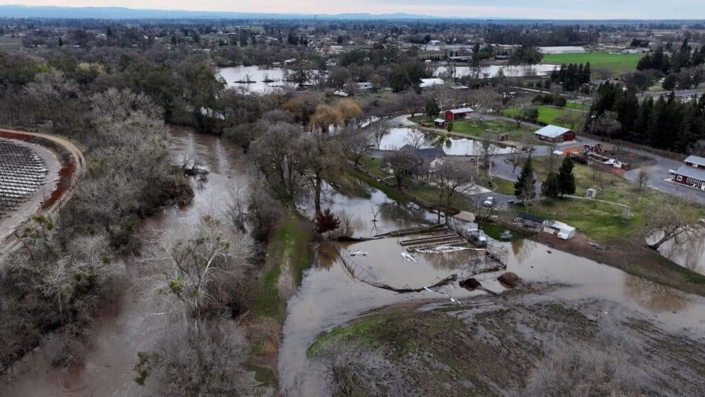
The convergence of the Sacramento and American rivers puts California’s capital at the center of a flood risk that most residents underestimate. Atmospheric rivers, the narrow bands of tropical moisture that hit the West Coast during winter, can dump rain on the Sierra foothills at rates that send enormous volumes of water downstream toward Sacramento in a matter of hours.
The city’s flood control infrastructure was designed for conditions that climate patterns have exceeded multiple times. The Folsom Dam upstream provides some protection, but emergency releases during heavy rain events send additional water down the American River through the heart of the city. In extreme events, the levee system that protects Sacramento faces a potential failure that would flood much of the metropolitan area.
The January 2023 atmospheric river events demonstrated how quickly conditions can deteriorate. Rivers went from normal flows to flood stage in under 24 hours, and the combination of saturated ground and heavy rain created conditions where additional storms had immediate, dangerous impacts.
13. Charleston, South Carolina

Charleston floods during heavy rain with a regularity that has become the city’s defining weather challenge. The low-lying peninsula sits at barely above sea level, and the combination of tidal cycles, storm surge, and rainfall can put major roads underwater within an hour. King tides alone flood some streets without any rain at all.
Tropical systems that approach the South Carolina coast can push storm surge into Charleston Harbor faster than evacuation can proceed. The city’s historic peninsula has limited exit routes, and the bridges that connect it to the mainland become congested the moment an evacuation is announced. The window between “preparing to leave” and “too late to leave” is measured in hours.
Summer thunderstorms produce localized flooding that catches residents and tourists off guard daily during the wet season. A storm that drops three inches of rain in 45 minutes can flood streets that were dry at lunch, stranding vehicles and pedestrians in water that rises faster than most people expect.
14. Minneapolis, Minnesota
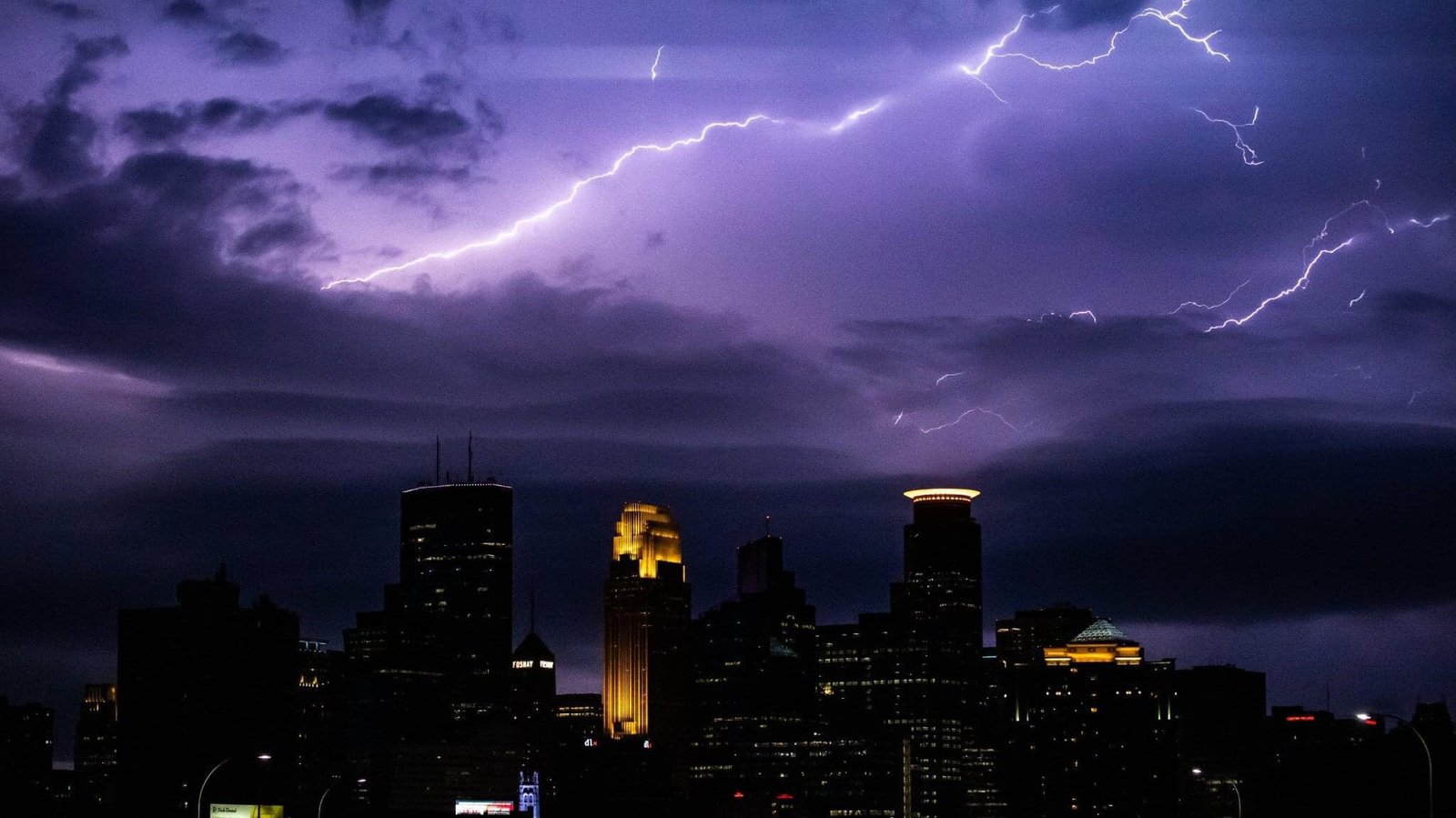
The upper Midwest produces weather transitions that can go from unremarkable to lethal within an hour. Minneapolis sits at the northern edge of the severe weather belt, where spring and summer thunderstorms can produce tornadoes, straight-line winds, and hail with a speed that leaves little time between warning and impact.
The June 2024 derecho that swept across the upper Midwest produced wind gusts exceeding 100 mph that arrived with minimal lead time. The straight-line wind event toppled trees, destroyed buildings, and knocked out power across a wide area in a timeframe that made sheltering difficult for people who were outdoors or in vehicles.
Winter adds its own sudden-onset dangers. Alberta clippers move across the northern Plains so fast that conditions can change from cloudy and 20 degrees to blizzard whiteout in under an hour. The combination of wind, cold, and snow creates wind chill values that drop to dangerous levels with a speed that catches even experienced Minnesotans off guard when the forecasted timing is off by even a few hours.
15. St. George, Utah
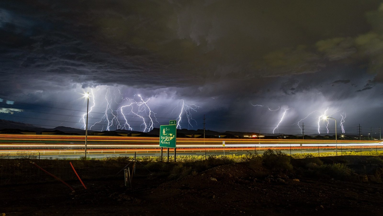
The red rock desert surrounding St. George creates flash flood conditions that go from dry to deadly with almost no transition. Slot canyons and narrow washes that are popular hiking destinations become death traps when thunderstorms upstream send walls of water through confined channels at speeds that make escape impossible.
The September 2015 flash flood in nearby Hildale killed 20 people when a wall of water swept through a canyon with virtually no warning. The rain fell miles upstream and arrived at the canyon bottom as a debris-filled torrent that overwhelmed vehicles and hikers who had no way to see it coming.
St. George’s rapid growth has put more people into flood-prone areas, and the city’s desert setting creates a false sense of security. Rain is rare, which means when it does arrive, the hard-packed desert soil cannot absorb it. Everything runs off, and it all runs downhill toward the same low points where people build, hike, and drive. The transition from a sunny desert afternoon to a life-threatening flash flood can happen in the time it takes to eat lunch.