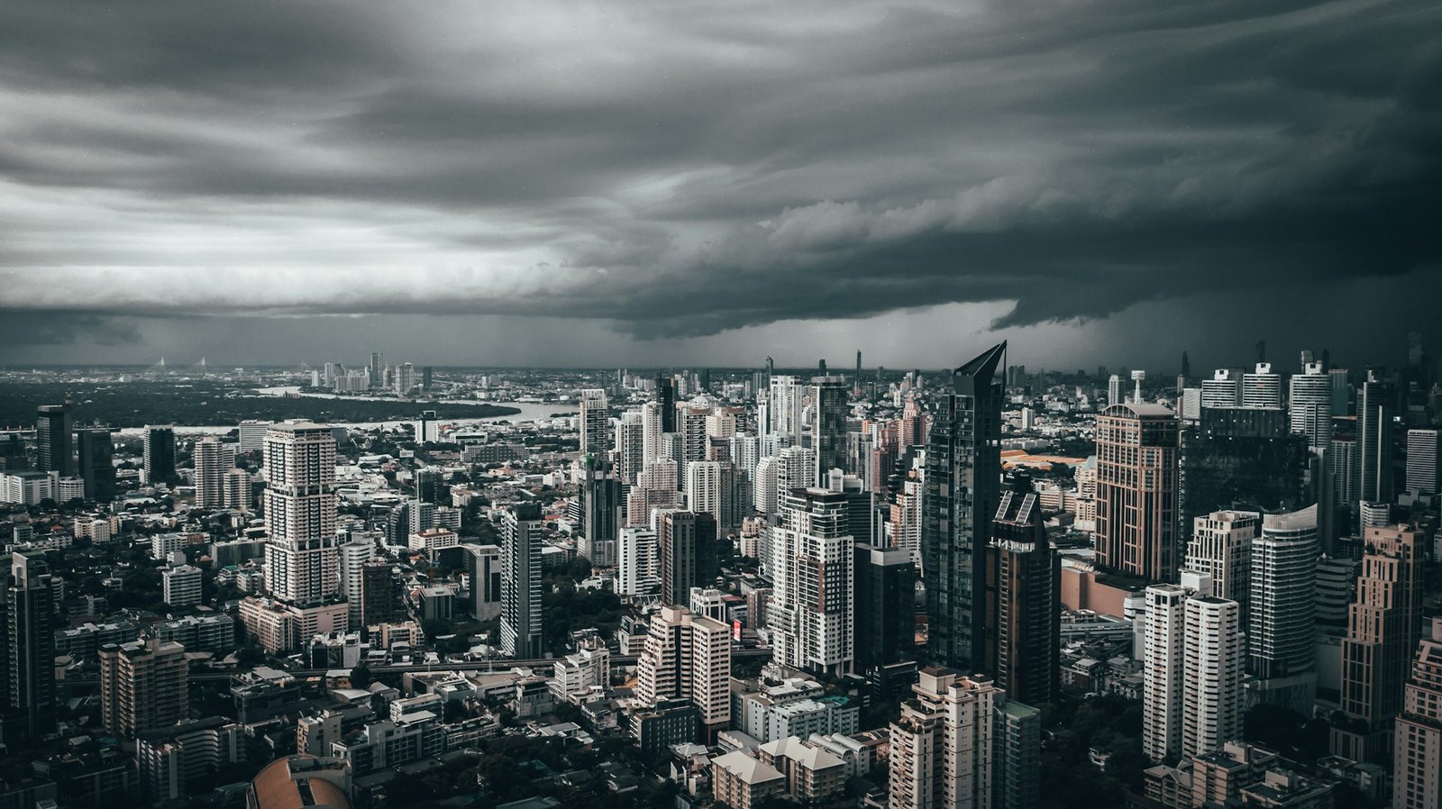
Ask someone to list the cloudiest cities in the US and they will probably mention Seattle or Portland without much hesitation. Those guesses are not wrong, but they are incomplete. The real answer stretches from the Aleutian Islands of Alaska down through the Pacific Northwest and takes a sharp turn east into the mountain valleys of Montana, the shores of Lake Erie, and a valley in southern New York that most people have never heard of.
What makes a city cloudy is not simply whether it rains a lot there. Some of the cloudiest cities in the country receive very little annual precipitation. Cloudiness is a product of specific atmospheric mechanics, and those mechanics play out differently depending on whether a city sits near a cold ocean current, downwind of a mountain range, adjacent to a Great Lake, or in a bowl of frigid Arctic air. Understanding why certain cities are chronically overcast requires understanding how clouds actually form, which turns out to be a surprisingly illuminating way to read the geography of the United States.
The data used here comes from NOAA’s National Centers for Environmental Information, which has tracked sky cover at weather stations across the country for decades. We define a “cloudy day” as one where clouds cover more than 80 percent of the sky during daylight hours, and we look only at cities with a population above 25,000, which is why some legendary outposts of gloom, including Cold Bay, Alaska, which averages 304 overcast days per year, do not appear on the main list.
How clouds actually form
Every cloud on Earth forms through the same basic process. Air contains water vapor, and that vapor becomes visible as cloud droplets when the air cools enough for the vapor to condense. The temperature at which this happens is called the dew point. Get air below its dew point, and you get clouds. A hygrometer measures the relative humidity and dew point of the air around you, which is exactly what determines whether cloud formation is imminent.
There are two main mechanisms that matter for understanding where the cloudiest cities end up. The first is what meteorologists call advection, which is the horizontal movement of air from one place to another. When relatively warm, moist air blows across cold water, the bottom of that air mass cools to its dew point, producing low stratus clouds or fog. This is the dominant cloud-making process along the Pacific coast, and it explains why cities near the cold California Current, which runs south from Alaska along the West Coast, are so perpetually overcast.
The second mechanism is orographic lift, which happens when moving air is forced upward by terrain. As air rises, it expands and cools. Cool enough, and cloud droplets form. Mountain ranges are extraordinarily efficient cloud-making machines for this reason, which is why nearly every city on this list sits either near a mountain range, a cold ocean current, or both.
The Pacific machine
Seven of the eleven cloudiest cities on this list owe their gray skies to the Pacific Ocean, either directly or indirectly. The mechanism is the same in all cases: the Pacific is the world’s largest ocean, and air crossing it has thousands of miles to pick up moisture before reaching the West Coast. When that moist air then encounters the cold water of the California Current and the mountain ranges just inland, the result is persistent low cloud cover that can last for weeks at a time.
Juneau leads the entire country with 280 cloudy days per year, which is more than three-quarters of the year spent under gray skies. The city’s position near the northeasternmost corner of the Pacific puts it at the end of a moisture conveyor belt, and the steep mountains surrounding Juneau on nearly every side ensure that the incoming air has no choice but to rise and cool. The cold water offshore triggers advective cloud formation even when the terrain is not doing the work. In Juneau, both mechanisms run simultaneously for much of the year, which is why the city is also the second-rainiest in the country, with more than 62 inches of annual precipitation.
Anchorage ranks second at 239 cloudy days per year despite sitting 600 miles up the coast from Juneau, and its slightly lower count illustrates the same mechanisms in reverse. The city sits at the head of Cook Inlet, flanked by mountains on three sides. Wind arriving from any direction except the southwest has to descend from those surrounding mountains before reaching the city. Descending air warms and dries rather than cooling and condensing, which tends to clear skies rather than build clouds. The problem is that the most common wind direction in Anchorage is from the southwest, straight up the inlet from the Gulf of Alaska, which is exactly the direction that brings moist Pacific air into the city without any prior descending. The result is a city that is frequently overcast but not quite as relentlessly so as Juneau.
The Pacific Northwest picks up where Alaska leaves off. Olympia, Washington, logs 228 cloudy days annually. Seattle comes in just behind at 226, and Portland at 222, with Eugene, Oregon, adding another 209-day entry toward the bottom of the top eleven list. The same cold California Current that sends moisture northward toward Alaska runs along the entire West Coast, and the Olympic Mountains, Cascades, and Coast Ranges ensure that the incoming moist air rarely makes it far inland without being forced upward and cooled into clouds. Seattle gets slightly less cloud cover than Olympia because the Olympic Mountains to the northwest intercept some of the incoming Pacific air before it reaches the city. Portland and Eugene sit a little farther from the coast and a little farther south along the storm track, which keeps them slightly drier and slightly less overcast than their neighbors to the north, though neither is a place where you should count on sunshine on any given day in November.
Annual sky conditions: cloudy, partly cloudy, and clear days
Source: NOAA National Centers for Environmental Information (NCEI) Comparative Climatic Data
The mountain valleys of the interior West
Two cities on this list have no business being as cloudy as they are, at least based on a casual look at the map. Kalispell, Montana, at number six with 214 cloudy days, and Missoula, Montana, at number eleven with 208, sit well inland in the northern Rockies, separated from the Pacific Ocean by the Cascade Range. Neither city is particularly rainy. Kalispell averages fewer than 17 inches of precipitation per year, and Missoula barely exceeds 14 inches. By comparison, Portland gets more than twice as much rain as Missoula.
The explanation lies in the specific shape of the valleys they occupy. Both cities sit in narrow, relatively shallow valleys on the eastern side of the Cascades, and the mountains surrounding them are not quite tall or continuous enough to fully exhaust the moisture and cloud-forming potential of the Pacific air that crosses them. The orographic lift that would normally wring out all available moisture before air descends into a valley is incomplete here. The air descends, warms somewhat, and dries somewhat, but not enough to produce the reliably sunny conditions you find in cities that sit further downwind of the mountains, like Boise or Reno. The cloud cover persists without much accompanying rain, a combination that makes both cities feel perennially gray without feeling particularly stormy.
The Great Lakes effect
Binghamton and Buffalo represent a completely different cloud-making system from anything else on this list. Both sit in western and central New York, and their cloudiness is driven not by the Pacific Ocean but by Lakes Erie and Ontario during the winter months.
The process works as follows. Cold air masses sweep south out of Canada during autumn and winter, passing over lake water that is still relatively warm from summer. The temperature difference between the frigid air and the warmer lake surface causes rapid evaporation from the lake, loading the bottom of the cold air mass with moisture. That warm, moist surface layer is less dense than the cold air above it, so it rises, cools, and condenses into clouds, often thick enough to produce persistent precipitation. This is the lake effect, and it can sustain cloud cover for days or even weeks when the pattern becomes locked in.
Binghamton’s position roughly 100 miles southeast of Lake Ontario puts it squarely in the path of these lake-effect cloud bands, which explains its 212 cloudy days and why it ranks as one of the snowiest cities in the country during winter. Buffalo sits directly downwind of Lake Erie, which at 570 feet of average depth is the shallowest of the Great Lakes and therefore warms up and cools down faster than the others. This quirk of geography gives Buffalo an interesting seasonal profile: Lake Erie’s early summer warmth actually reduces cloud formation compared to the other Great Lakes cities, but once summer passes and the lake begins to cool, Buffalo falls back into its familiar overcast pattern. Lake-effect blizzards from Lake Erie are among the most intense snowstorms in the country, capable of dropping several feet of snow on a narrow band of terrain in a matter of hours.
One useful observation about Great Lakes cloudiness comes from comparing Binghamton to Syracuse, which sits closer to Lake Ontario and is the snowiest major city in the United States. You might expect Syracuse to rank higher on a cloudiness list than Binghamton, but it does not. The reason is summer. During warm months, the Great Lakes become cooler than the surrounding land, which reverses the instability that drives lake-effect clouds in winter. The cooler lake stabilizes the air rather than destabilizing it, so cities right at the lake shore end up with relatively clear summer skies. Binghamton, sitting a bit farther from the lake, can still generate afternoon convective clouds in summer from solar heating of the land, giving it a slight edge in total annual cloudy days.
Fairbanks and the cold fog problem
Fairbanks, Alaska, is the strangest entry on this list, and understanding why it appears here requires revisiting the basic physics of cloud formation. Fairbanks averages just 10.81 inches of precipitation per year, which is technically drier than the Sahara Desert by some measures. It sits hundreds of miles from any significant body of water. Yet it records 210 cloudy days annually.
The answer is temperature. Fairbanks spends 225 days below freezing each year, making it the coldest city in the United States. Cold air can hold dramatically less water vapor than warm air, and in Fairbanks, temperatures are so extreme that even the tiny amounts of moisture in the air are regularly forced to condense into visible droplets. The result is persistent freezing fog, which counts as overcast sky cover for the purposes of NOAA’s cloud tracking. The same thermodynamic process that makes Fairbanks so nearly desert-like in terms of precipitation, so cold that moisture is wrung from the air before it ever falls, also keeps it perpetually fogged in. The city does not get much precipitation because the air is too cold to hold moisture, but that same cold is continuously converting whatever moisture exists into visible fog and cloud.
Cloudy days vs. annual precipitation: the relationship is weaker than you think
Source: NOAA NCEI Comparative Climatic Data
The cloudiest cities in the US: the full rankings
The table below shows the full ranking of the eleven cloudiest U.S. cities with populations above 25,000, using long-term averages from NOAA NCEI data covering the period from the late 1940s through 2020. A “cloudy day” is defined as one where cloud cover exceeds 80 percent of the sky during daylight hours.
| # | City | Cloudy days | Partly cloudy | Clear days | Annual precip. | Avg. temp. |
|---|---|---|---|---|---|---|
| 1 | Juneau, AK | 280 | 41 | 44 | 62.27″ | 42.1°F |
| 2 | Anchorage, AK | 239 | 65 | 61 | 16.58″ | 37.0°F |
| 3 | Olympia, WA | 228 | 84 | 53 | 50.00″ | 50.5°F |
| 4 | Seattle, WA | 226 | 82 | 57 | 37.49″ | 52.6°F |
| 5 | Portland, OR | 222 | 74 | 69 | 36.03″ | 54.4°F |
| 6 | Kalispell, MT | 214 | 81 | 70 | 16.99″ | 43.3°F |
| 7 | Binghamton, NY | 212 | 102 | 51 | 39.30″ | 46.2°F |
| 8 | Fairbanks, AK | 210 | 86 | 69 | 10.81″ | 27.6°F |
| 9 | Eugene, OR | 209 | 82 | 74 | 46.10″ | 52.4°F |
| 10 | Buffalo, NY | 208 | 103 | 54 | 40.48″ | 48.2°F |
| 11 | Missoula, MT | 208 | 83 | 74 | 14.13″ | 45.9°F |
The precipitation paradox, and what the data reveals
The scatter chart above makes a point that the city-by-city descriptions tend to obscure: cloudiness and rainfall are related phenomena but far from the same thing. Juneau and Missoula log nearly identical numbers of partly cloudy plus overcast days across a year, yet Juneau receives more than four times as much precipitation. Fairbanks is almost technically a desert by annual precipitation standards but still manages to spend more than half the year under visible cloud or fog cover.
This matters because people regularly conflate the two when evaluating where to live or travel. Seattle’s reputation as a rainy city is somewhat overstated if you measure by inches of annual rainfall. Houston, Miami, and New York City all receive substantially more annual precipitation than Seattle. What Seattle gets is persistent low cloud and drizzle spread over many months, which produces fewer dramatic rainstorms but more sustained gray skies than most other American cities of its size. The number that best captures the Seattle experience is cloudy days, not annual precipitation.
There is also a seasonal dimension to the cloudiness that annual averages do not capture well. The Pacific coast cities are cloudiest in winter and shoulder seasons, when the jet stream dips south and Pacific storm systems make frequent landfall. Their summers are often surprisingly pleasant, with extended stretches of clear weather that annual averages do not hint at. The Great Lakes cities run on essentially the opposite cycle, with cloudiest conditions in the cold months when the lake-effect mechanism is active and relatively clear summers once the lakes cool down enough to stop generating instability. Understanding which season drives a city’s cloudiness tells you much more about what it is actually like to live there than any single annual number can.
If you want to track conditions yourself
Current cloud cover and sky conditions are among the more reliably reported variables in weather forecasting, and the best weather radar apps show satellite cloud imagery updated every few minutes. If you are trying to understand cloud patterns at a regional scale rather than just checking what’s overhead right now, learning how weather radar and satellite imagery work gives you a much richer picture of why certain days go gray while others stay clear. Checking a reliable weather app before planning time outdoors in any of these cities is worth the extra thirty seconds, and if you live in the Great Lakes region where lake-effect events can intensify rapidly, a weather radio is a useful backup when conditions change faster than phone notifications can keep up.
Cloud cover data is drawn from NOAA’s National Centers for Environmental Information Comparative Climatic Data publication, using long-term averages for stations with records extending from the late 1940s or early 1950s through 2020. Only cities with populations above 25,000 are included in the main rankings. “Cloudy” is defined as sky cover exceeding 80 percent of the sky during daylight hours; “partly cloudy” as 30 to 80 percent.