Some roads are dangerous all the time. Others are perfectly fine until the weather turns, and then they become something else entirely. Fog, ice, rain, wind, and snow transform ordinary highways into stretches where a single mistake can be fatal. Emergency responders who work these corridors know the weather patterns by heart and dread the calls that come during the worst conditions.
These 15 highways have earned their reputations through repeated weather-related disasters, pileups, and fatalities. Locals know to avoid them when storms hit. Tourists and truckers learn the hard way.
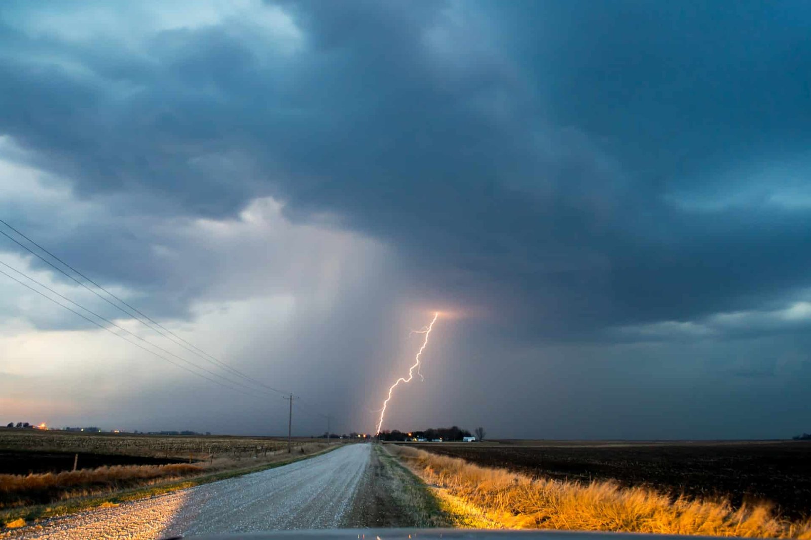
1. Interstate 10, Louisiana (Lake Charles to Baton Rouge)
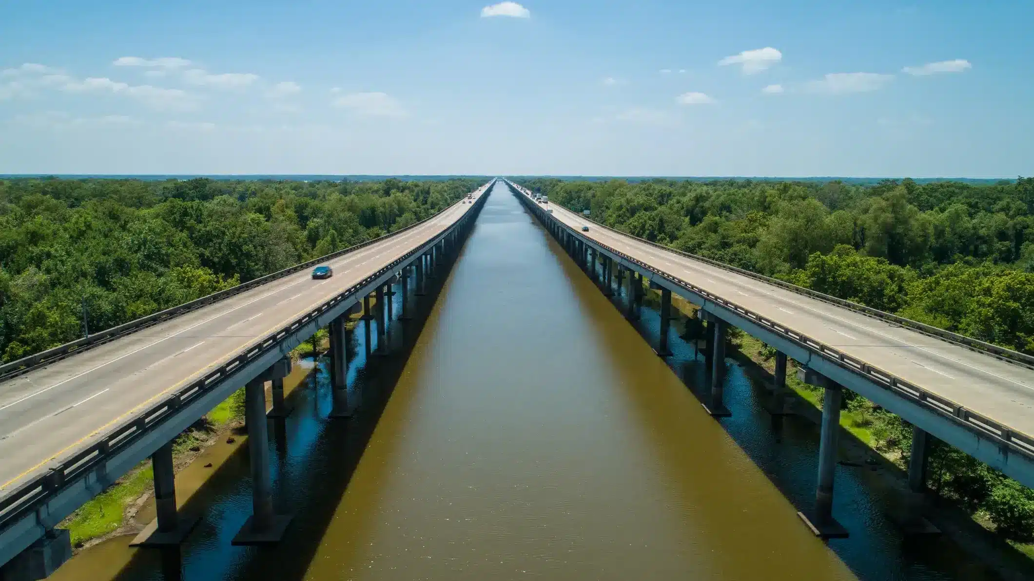
This stretch of I-10 crosses the Atchafalaya Basin on an elevated causeway that runs 18 miles through swampland with no shoulder, no exits, and no room for error. When fog rolls in from the bayou, visibility can drop to zero in seconds, and the elevated roadway becomes a blind corridor where 80,000-pound trucks and passenger cars share two lanes in each direction with inches of clearance.
The causeway has been the site of multiple deadly pileups caused by fog. In March 2002, a chain-reaction crash involving over 100 vehicles killed one person and injured dozens in zero-visibility conditions. The fog forms quickly, especially during winter mornings when warm bayou water meets cold air, and it can be thick enough to make headlights useless.
Louisiana has installed fog warning systems and variable speed limit signs along the causeway, but the fundamental problem remains: the road crosses a swamp that produces fog like a machine, and drivers who enter the stretch at highway speed have no way to stop in time when the wall of white appears.
2. Interstate 80, Wyoming (Rawlins to Rock Springs)
I-80 across southern Wyoming is one of the most wind-prone highways in America. Ground blizzards form when wind picks up existing snow and blows it horizontally across the road at 70 mph, creating whiteout conditions even when no new snow is falling. The stretch between Rawlins and Rock Springs crosses open high desert with nothing to break the wind for 100 miles.
Wyoming DOT closes this section of I-80 multiple times every winter, sometimes for days at a time. Truckers who ignore the closure gates or push through deteriorating conditions regularly end up jackknifed across the highway, blocking both directions and creating chain-reaction disasters that strand hundreds of vehicles.
Wind gusts exceed 100 mph during the worst events, strong enough to tip empty trailers and blow passenger cars off the road entirely. The highway sits at 7,000 feet elevation, which means cold is extreme and help is far away. Interstate 80 through Wyoming is a road that demands respect in every season, but winter turns it into something that experienced truckers genuinely fear.
3. US Route 550, Colorado (Million Dollar Highway)
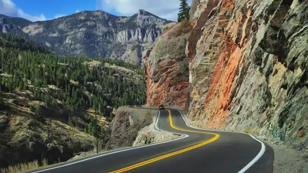
The Million Dollar Highway between Silverton and Ouray climbs through three mountain passes above 10,000 feet with no guardrails, narrow lanes, and sheer drops of over 1,000 feet. During summer, the road is a scenic adventure. During winter, it becomes a survival course where black ice, avalanches, and whiteout snow turn every mile into a test of nerve and skill.
Avalanche chutes cross the highway in multiple locations, and Colorado DOT conducts controlled blasting to prevent uncontrolled slides that could bury vehicles. Despite these efforts, the road closes periodically when avalanche danger exceeds what can be managed.
Ice forms on the road surface even when temperatures are above freezing, because snowmelt from the cliffs above runs across the pavement and refreezes in shaded sections. The hairpin turns with thousand-foot drops require a level of winter driving competence that most motorists do not possess. Locals drive it daily and make it look easy, but every winter produces accidents that remind everyone how thin the margin is.
4. Interstate 4, Florida (Orlando to Daytona Beach)
I-4 holds the dubious distinction of being one of the deadliest highways in America per mile driven, and weather plays a major role. Florida’s afternoon thunderstorms arrive with violent intensity, dumping rain so heavy that visibility drops to near zero within seconds. Drivers who were cruising at 70 mph suddenly cannot see the car in front of them.
Hydroplaning on the standing water that accumulates during downpours sends vehicles spinning across multiple lanes. The highway’s heavy tourist traffic means many drivers are unfamiliar with the road, driving rental cars they do not know well, and reacting poorly to sudden storms they did not expect.
Hurricane evacuations add another layer of danger. I-4 serves as a primary evacuation route for the Orlando area, and when millions of people try to leave simultaneously during a hurricane approach, the highway becomes a parking lot. Fuel runs out, tempers flare, and the approaching storm adds a literal deadline to the gridlock. I-4 in bad weather is chaos that forecasters and first responders dread every season.
5. Interstate 90, South Dakota (Rapid City to Sioux Falls)
Crossing the open prairie of South Dakota, I-90 offers no shelter from winter storms that can materialize faster than drivers can react. Ground blizzards and whiteout conditions close the highway regularly, and the distance between exits means drivers who get stranded face serious exposure risk in temperatures that drop below minus 30 with wind chill.
The South Dakota Highway Patrol responds to hundreds of weather-related crashes along this corridor every winter. Ice storms coat the pavement in a glass-smooth layer that makes braking impossible, and the flat terrain means wind hits vehicles broadside with nothing to slow it down.
Semi-trucks blown off the road by crosswinds are a regular sight during the worst storms. The open landscape that makes the drive boring in summer becomes actively hostile in winter, with no trees, buildings, or terrain features to provide reference points during whiteout conditions. Drivers have been found dead in their cars after leaving the highway and getting lost just yards from safety.
6. US Route 2, Montana (Glacier National Park to Shelby)
The two-lane highway running south of Glacier National Park crosses some of the most exposed terrain in Montana. Arctic air pours down from Canada through gaps in the Rocky Mountain front, creating wind chill conditions and ground blizzards that make the road impassable multiple times every winter.
The Blackfeet Indian Reservation covers much of the land along this stretch, and emergency services are spread thin across a vast territory. When crashes happen during storms, response times can be dangerously long. Stranded motorists face life-threatening cold if they leave their vehicles.
Summer tourists driving to Glacier National Park experience the road as a scenic two-lane with mountain views. Winter transforms it into one of the most isolated and weather-exposed highways in the lower 48. The Montana DOT closes sections when conditions deteriorate, but the closure gates are far apart, and drivers can enter the dangerous stretch without realizing conditions have changed ahead.
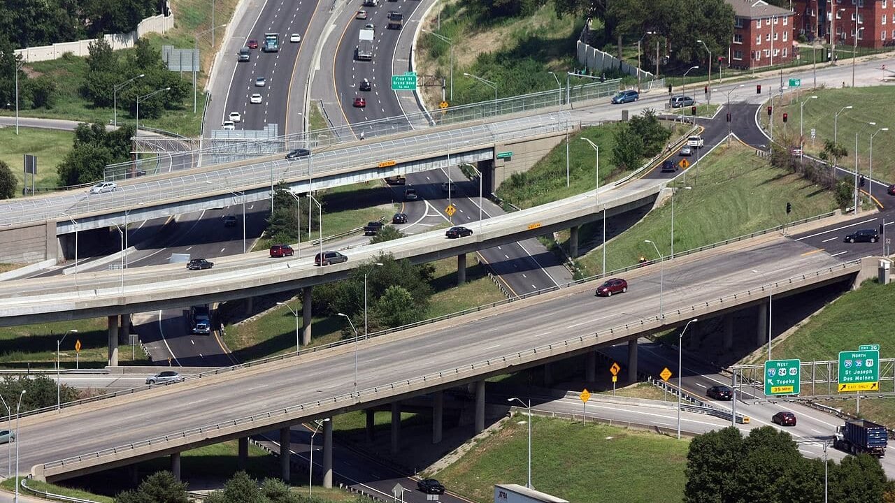
7. Interstate 95, Virginia (Fredericksburg Corridor)
In January 2022, a winter storm stranded hundreds of motorists on I-95 in Virginia for over 24 hours, some for more than 27 hours. Drivers ran out of gas, food, and patience as the highway became an ice-covered parking lot with no way forward, backward, or off the road. Some abandoned their vehicles and walked to nearby homes.
The corridor between Fredericksburg and Washington, D.C. is a bottleneck during normal conditions, carrying some of the heaviest traffic loads on the East Coast. When ice or snow hits, the combination of volume, hills, and limited exits turns the highway into a trap. One jackknifed truck can block all lanes, and the traffic behind it has nowhere to go.
Virginia learned hard lessons from the 2022 disaster and has improved its response protocols, but the fundamental problem remains: too many vehicles on a road that has no good alternatives when weather shuts it down. The I-95 corridor through Virginia during winter storms is a calculated risk that millions of drivers take daily, and occasionally the calculation goes very wrong.
8. Dalton Highway, Alaska (Route 11)
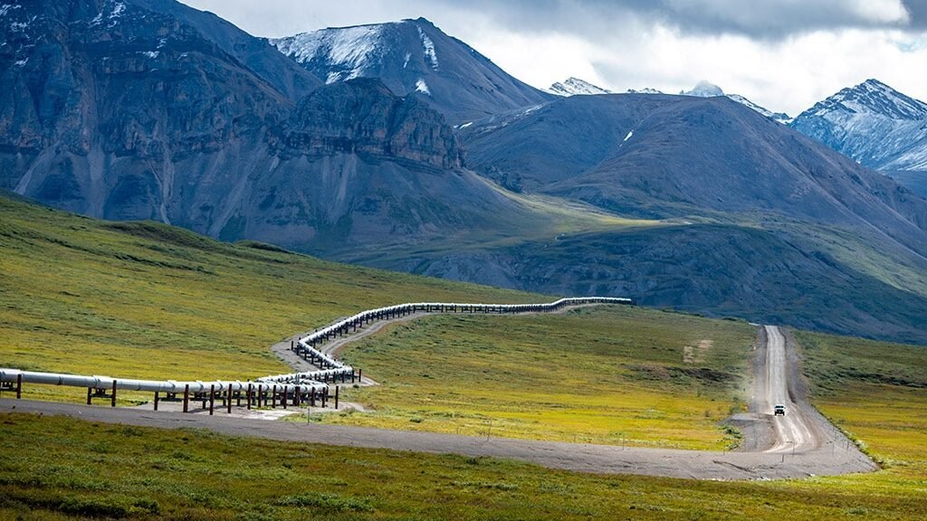
The Dalton Highway runs 414 miles from Fairbanks to Deadhorse on the Arctic Ocean, crossing the Brooks Range and some of the most remote terrain in North America. The road is unpaved for most of its length, has no services for stretches exceeding 200 miles, and experiences winter temperatures that drop below minus 50 with wind chill.
Ice fog forms when vehicle exhaust freezes in the extreme cold, creating a localized cloud around moving trucks that reduces visibility to feet. The gravel surface becomes ice-coated and unpredictable. Truckers hauling supplies to the Prudhoe Bay oil fields drive this road year round, and their CB radio chatter during storms is a catalog of close calls and survival stories.
Breaking down on the Dalton Highway in winter can be fatal. Cell service does not exist for most of the route, tow trucks are hours away if they can respond at all, and the cold will kill an exposed person in less than an hour. The Dalton is not technically a weather-related death trap, because the weather here is always trying to kill you. It is the road itself that is the constant.
9. Teton Pass, Wyoming (Highway 22)
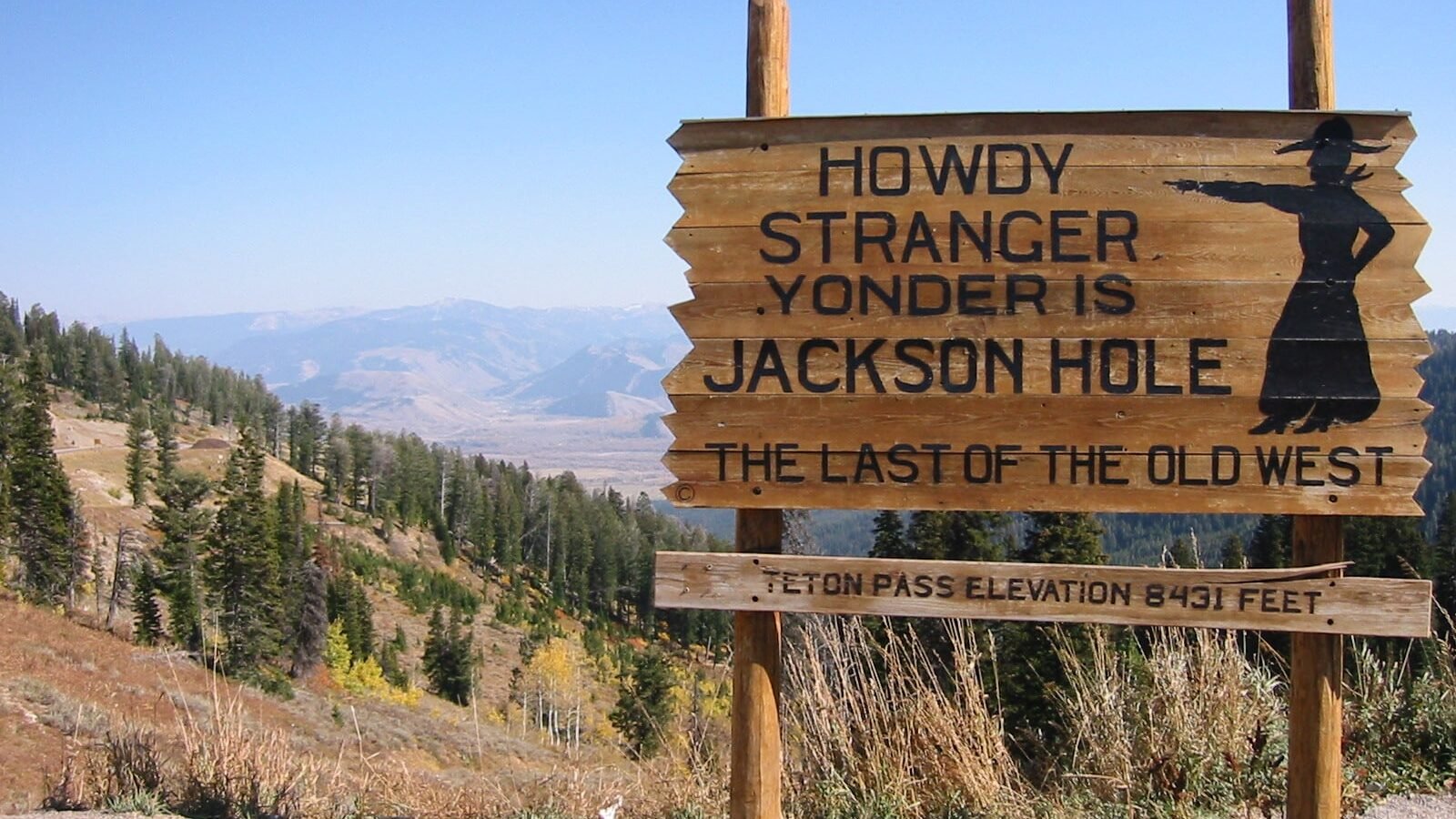
The road connecting Jackson, Wyoming to Victor, Idaho climbs to 8,431 feet over Teton Pass with grades exceeding 10 percent, hairpin switchbacks, and avalanche chutes that cross the highway at multiple points. Thousands of workers commute over the pass daily because housing in Jackson is too expensive, and winter turns that commute into a daily confrontation with some of the most dangerous driving conditions in the Mountain West.
Avalanches close the road periodically, and controlled avalanche work using explosives is a regular winter activity. Black ice forms on the steep grades, and runaway truck ramps exist specifically because vehicles lose their brakes on the descent during icy conditions.
The pass receives over 500 inches of snow per year, and storms can drop two feet in a single event. Wyoming DOT plows aggressively, but the rate of accumulation during major storms can exceed the plows’ ability to keep up. Commuters who cross Teton Pass in winter develop a fatalistic attitude about the drive. They carry emergency gear, leave early, and accept that the mountain decides whether they get to work today.
10. Interstate 5, Oregon (Siskiyou Pass)
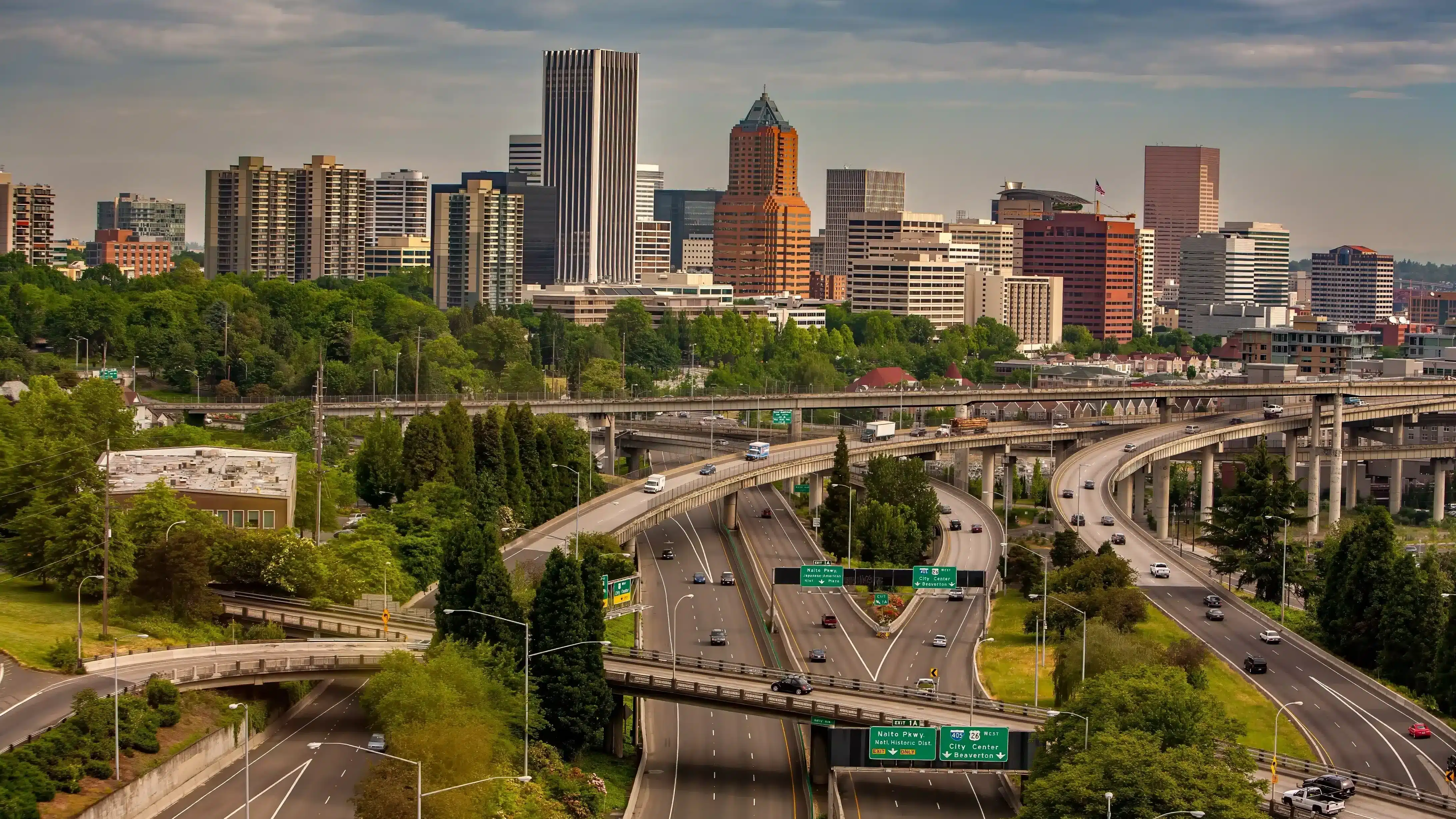
The Siskiyou Pass on I-5 near the California border climbs to 4,310 feet through terrain that regularly ices over during winter storms. The pass is the highest point on I-5 between Mexico and Canada, and it catches weather that the lower elevations on either side avoid entirely. Trucks that climb through rain at the base arrive at the summit in freezing conditions they did not expect.
Chain requirements are frequent during winter, and the backup of trucks waiting to chain up can extend for miles. The pass also experiences fog, freezing rain, and black ice that form rapidly when Pacific moisture meets the cold terrain at elevation.
Oregon DOT closes the pass during the worst events, but the closures create their own problems as trucks and cars stack up on both sides with limited parking and services. The Siskiyou Pass is the choke point of the entire West Coast trucking corridor, and when weather shuts it down, the economic ripple extends from Seattle to Los Angeles.
11. US Route 93, Nevada (Extraterrestrial Highway Area)
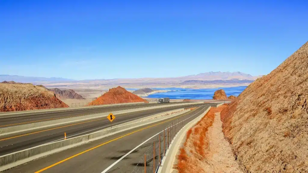
The long, straight highways of central Nevada create a dangerous illusion of safety. The roads are smooth, the sightlines are endless, and the temptation to drive fast is overwhelming. When weather arrives in the form of sudden dust storms, flash floods, or black ice at elevation, the transition from safe to deadly happens without warning.
Dust storms in the desert basins can reduce visibility to zero in seconds, and drivers traveling at 80 mph have no time to react. Flash floods cross the highway during monsoon season, and the water moves fast enough to sweep vehicles off the road. The remoteness means help is often an hour or more away.
Winter brings its own surprises. The high desert elevations along US 93 regularly drop below freezing at night, and ice forms on road surfaces that drivers do not expect to be frozen. The combination of high speeds, long distances, and sudden weather changes makes these Nevada highways more dangerous than their smooth pavement suggests.
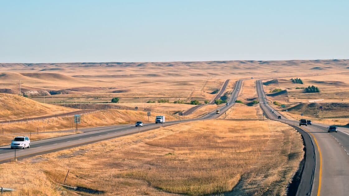
12. Interstate 70, Kansas (Western Kansas)
Western Kansas is flat, treeless, and fully exposed to every winter storm that crosses the Great Plains. I-70 between Hays and the Colorado border runs through terrain where wind has nothing to slow it down, and ground blizzards can create whiteout conditions that persist for days.
The highway closures that hit this stretch every winter strand travelers in small towns that are not equipped to handle hundreds of unexpected guests. Motels fill up, gas stations run low on fuel, and truck stops become temporary shelters for drivers waiting out storms that can last 48 hours or more.
The flatness that makes western Kansas look boring from a car window is the same feature that makes it lethal in bad weather. There are no landmarks to navigate by during a whiteout, no hills to block the wind, and no shelter to reach if you leave your vehicle. I-70 through western Kansas requires winter drivers to trust the closure gates and respect the weather in a way that most American highways do not demand.
13. Route 112, Washington (Hurricane Ridge Road)
The road to Hurricane Ridge in Olympic National Park climbs from sea level to 5,242 feet in 17 miles, crossing through rain forest, cloud layer, and alpine terrain. Winter conditions on the upper section include heavy snow, ice, fog, and winds that justify the “Hurricane” name with gusts regularly exceeding 75 mph.
The road is narrow, winding, and has limited guardrails protecting against drops that extend hundreds of feet into the valleys below. National Park Service plows the road when conditions allow, but closures are frequent and can last days during major Pacific storms.
The transition from rainy conditions at the base to full winter conditions at the summit catches drivers off guard. You can start the climb in 40-degree rain and arrive at the top in a 20-degree blizzard with zero visibility, all within twenty minutes. Hurricane Ridge is spectacular in clear weather and genuinely terrifying when clouds and wind take over.
14. Interstate 40, New Mexico (Albuquerque to Gallup)
The high desert terrain of western New Mexico sits at 6,000 to 7,000 feet, and winter storms that cross the state dump snow and create ice conditions that surprise drivers who think of New Mexico as warm and dry. I-40 between Albuquerque and Gallup closes multiple times every winter when storms make the highway impassable.
The Continental Divide crossing near Gallup is the worst section, where elevation, exposure, and wind combine to create whiteout conditions and ice-covered pavement. Trucks that have been climbing for miles arrive at the divide with cold brakes and diminished traction, and the downhill section on either side becomes a test of nerve.
Navajo Nation land borders much of this highway corridor, and emergency services are spread thin across vast distances. Stranded motorists face long waits for help, and the cold at elevation can be severe enough to create dangerous conditions for anyone stuck in a vehicle overnight. I-40 through New Mexico is a winter highway that most drivers underestimate until the first time they hit ice at 7,000 feet.
15. US Route 1, Maine (Downeast Coast)
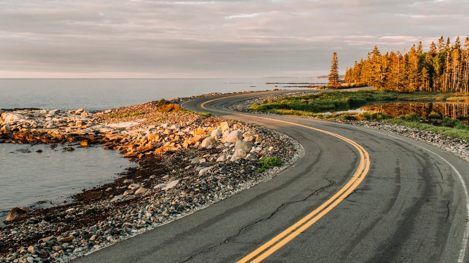
Fog along the Maine coast can persist for days, reducing visibility to a few car lengths and making the winding two-lane road feel like driving through a tunnel with no walls. Moose crossings add a year-round hazard that becomes especially dangerous in fog and darkness, when a 1,200-pound animal standing in the road is invisible until impact.
The Downeast communities depend on this highway as their only connection to hospitals, supplies, and the rest of the state. When storms close sections of Route 1, entire towns become isolated. The road is essential and dangerous in equal measure, a lifeline that the weather tries to cut every winter with storms that arrive from the Atlantic carrying everything the ocean can throw at a two-lane road.